Denver
Colorado's capital and largest city, with 78 official neighborhoods, light rail from Union Station and the foothills about 30 minutes west.
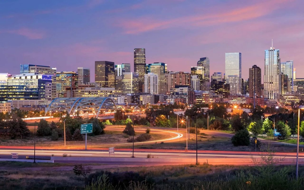
Colorado's capital and largest city, with 78 official neighborhoods, light rail from Union Station and the foothills about 30 minutes west.
Denver sits at 5,280 feet on the plains just east of the foothills, which is where the Mile High City name comes from. It is Colorado's capital and its largest city, and the city recognizes 78 official neighborhoods. Each one has its own housing, price range and pace, so living in Denver can mean a downtown loft, a 1920s bungalow by a park or a newer home out toward the airport.
The oldest housing sits close to downtown. Capitol Hill, Baker and Five Points have Victorian homes and converted mansions mixed in with apartments and condos, while LoDo and the Central Business District are mostly lofts and high-rise condos. South and east of downtown you reach the bungalow and Denver Square blocks of Washington Park, Platt Park and Park Hill. Mid-century ranches fill much of southeast Denver, and the far northeast, including Central Park and Green Valley Ranch, has subdivisions built since the late 1990s.
Union Station is the hub for RTD light rail and commuter rail, and the A Line runs from there to Denver International Airport. I-25 runs north to south through the city and I-70 heads west into the mountains. The Cherry Creek Trail and the South Platte River Trail give cyclists car-free routes into downtown.
Denver has more than 200 city parks. City Park, Washington Park, Sloan's Lake Park and Cheesman Park are the large ones most people know. The city also owns a ring of mountain parks in the foothills, Red Rocks Park among them. Loveland and Arapahoe Basin, the closest of the big ski areas on I-70, are about an hour or a little more away when traffic cooperates.
Denver Public Schools covers the whole city. A home's address sets its default school, and the district's SchoolChoice process lets students apply to schools outside that boundary.
The city officially recognizes 78. Locals also use smaller names like RiNo, LoHi and Wash Park West that sit inside or across those official lines.
Yes. The A Line commuter rail runs from Union Station to Denver International Airport in about 37 minutes, with stops in northeast Denver and Aurora along the way.
Capitol Hill, LoDo and the Central Business District let you handle most errands on foot. Farther out, Old South Pearl Street in Platt Park and 44th Avenue in Sunnyside give mostly residential areas a walkable main street.
Comparing a few Denver neighborhoods side by side? Guide Real Estate can walk you through them street by street.
713,734 people live in Denver, where the median age is 35.2 and the average individual income is $61,202. Data provided by the U.S. Census Bureau.
Total Population
Median Age
Population Density Population Density This is the number of people per square mile in a neighborhood.
Average individual Income
There's plenty to do around Denver, including shopping, dining, nightlife, parks, and more. Data provided by Walk Score and Yelp.
Explore popular things to do in the area, including It's A Real Thing, Peg And Willy’s Shave Ice, and Bombo's Rocky Mountain Shave Ice.
| Name | Category | Distance | Reviews |
Ratings by
Yelp
|
|---|---|---|---|---|
| Dining | 0.75 miles | 0 reviews | 0/5 stars | |
| Dining | 0.87 miles | 0 reviews | 0/5 stars | |
| Dining | 1.12 miles | 0 reviews | 0/5 stars | |
| Dining · $$ | 1.43 miles | 4 reviews | 3/5 stars | |
| Active | 0.75 miles | 0 reviews | 0/5 stars | |
| Active | 0.79 miles | 8 reviews | 4.3/5 stars | |
| Active | 1.12 miles | 1 review | 5/5 stars | |
| Active | 1.32 miles | 5 reviews | 3.6/5 stars | |
| Beauty | 0.75 miles | 1 review | 5/5 stars | |
| Beauty | 0.75 miles | 0 reviews | 0/5 stars | |
| Beauty | 1.12 miles | 0 reviews | 0/5 stars | |
|
|
||||
|
|
||||
|
|
||||
|
|
||||
|
|
||||
|
|
Denver has 329,578 households, with an average household size of 2.12. Data provided by the U.S. Census Bureau. Here’s what the people living in Denver do for work — and how long it takes them to get there. Data provided by the U.S. Census Bureau. 713,734 people call Denver home. The population density is 4,663 and the largest age group is Data provided by the U.S. Census Bureau.
Total Population
Population Density Population Density This is the number of people per square mile in a neighborhood.
Median Age
Men vs Women
Population by Age Group
0-9 Years
10-17 Years
18-24 Years
25-64 Years
65-74 Years
75+ Years
Education Level
Total Households
Average Household Size
Average individual Income
Households with Children
With Children:
Without Children:
Marital Status
Blue vs White Collar Workers
Blue Collar:
White Collar:
At Guide Real Estate, we believe in lifelong learning, collaboration, and growth. We commit to being better tomorrow than we are today. Our commitment to being better tomorrow than we are today begins with serving you. How can we help?